
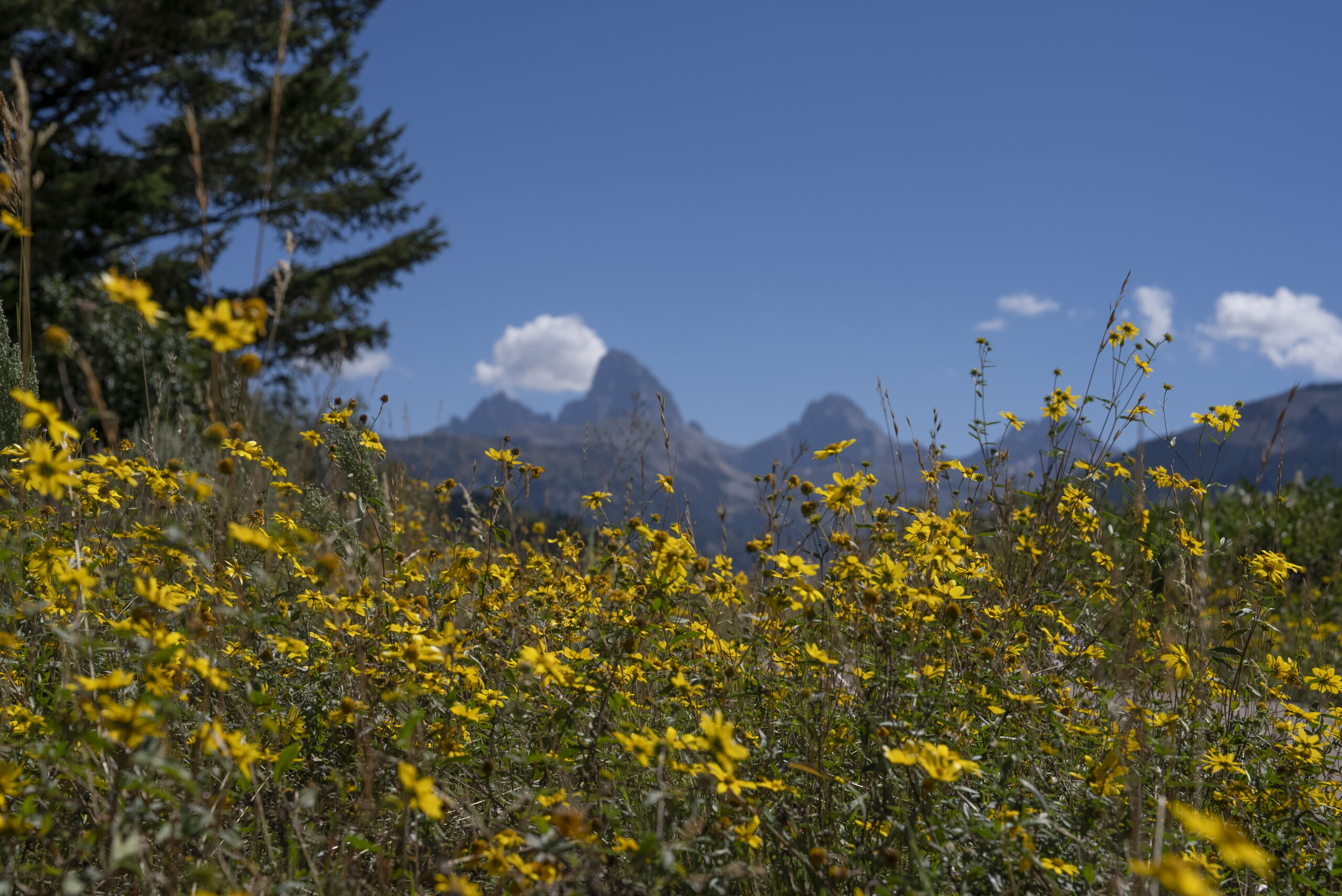
Where The Wild Flowers Are
Follow the
Wildflower Trail
East Idaho’s wildflower season peaks from mid-July through August, depending on the elevation. If you’re new to the trails in YTT, be sure to check out these resources for identifying plants from Outdoor Idaho’s Wildflowers of Idaho→. Don’t leave without, scrolling down through a close-up photo gallery of Idaho wildflowers from science-teacher-turned-photographer Gerry Queener→. Watch a series of YouTube shorts from producer Lauren Melink on some of the Gem State’s most interesting and useful herbs and flowers like arrowleaf balsamroot, golden currant, biscuitroot and dandelion. And then enjoy the full Outdoor Idaho episode “Wildflowers,” which looks at Idaho’s flora through the eyes of botanists, photographers, herbalists, farmers and hobbyists.
Whether you boat, bike or prefer your hiking boots, wildflower season in the YellowstoneTeton Territory is blooming with Arrowleaf Balsamroot and Lupine in the foothills, while the high-altitude meadows of the Caribou-Targhee National Forest are starting to explode with Indian paintbrush, Columbine, and Fireweed.
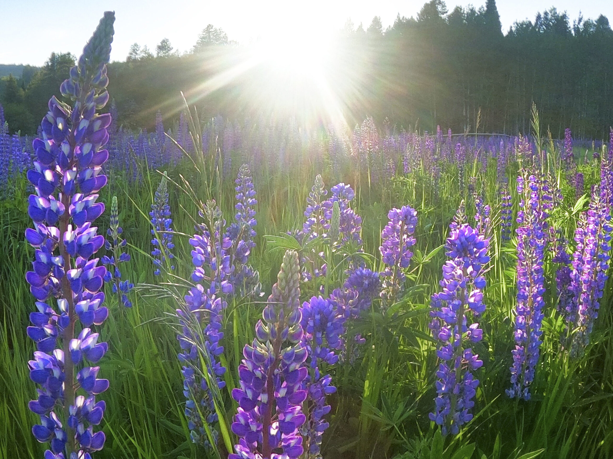
Even if you can’t enjoy the backcountry by foot, well over a 100 different species of wildflowers can be found in the region. Island Park’s Sawtell Peak road can provide a high elevation wildflower experience. Located roughly 13 miles west of Highway 20, the winding road and alpine meadows leading to this 9,866-foot peak.
Down below one of the Caribou-Targhee National Forest other wildflower hot spots is Keg Springs. This road climbs from sagebrush valleys to the continental divide, offering spectacular mid-summer displays. The Keg Springs road begins at about 6,600 feet in elevation and ends on the continental divide between Idaho and Montana at about 9,000 feet. A two-mile hike can also be taken along the continental divide trail to Blair Lake in Montana. The best time to access this area for wildflower viewing is mid-July though early August.
Find Beauty
Around Every Bend
The Bear Gulch trail leading to Upper Mesa Falls – if you feel like trekking the 9+ miles to get there instead of driving. Bear Gulch, a former ski area, is now the trailhead for two all-season trails. The Canyon Rim Trail is a nine-mile roundtrip ski/hiking trail that follows the canyon rim to Upper Mesa Falls. The original 36-mile Union Pacific Railroad grade that once took travelers to Yellowstone National Park now serves as a multipurpose trail to the Montana border. During winter, Bear Gulch serves as a trailhead for more than 500 miles of groomed snowmobile trails.
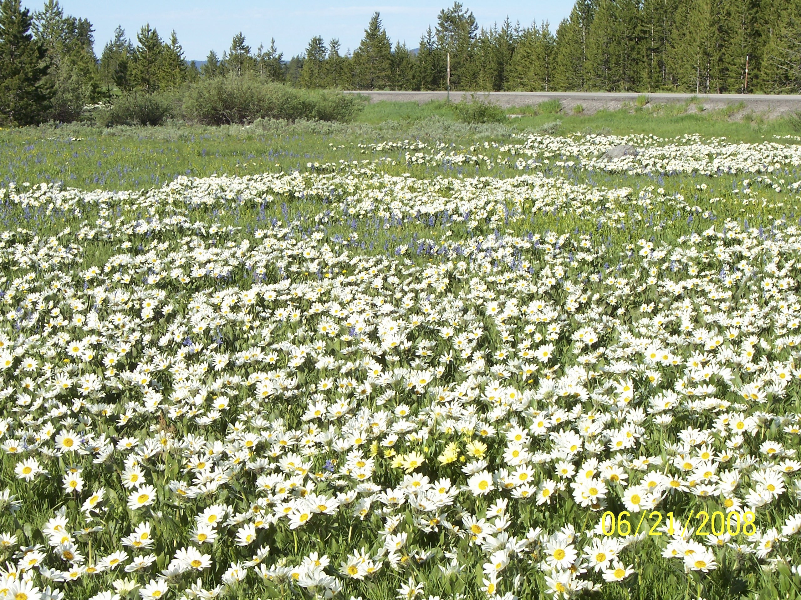
Lower Mesa Falls’ Grandview Overlook, built by the Civilian Conservation Corps during the 1930s, provides a spectacular panoramic view of Lower Mesa Falls. The Henrys Fork of the Snake River squeezes between basalt columns and plunges 65 feet, creating Lower Mesa Falls. Silvery lupine and Sticky geranium, juncos complement opportunities to catch elk, sandhill cranes and sometimes a flock of pelicans. Be sure to check out the summer hiking trail guide→ for Harriman State Park as well for moderate hiking options that are filled with swans and cranes.

Discover More Scenic Seasons In
Our Eastern Idaho Blogs
As the Veil Thins, Halloween Summons Late Nights
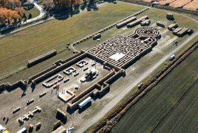
Boo at the Zoo, Straw Mazes and Haunted Houses, YTT is Spooky Family Fun
Art shares ground in Yellowstone Teton Territory
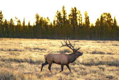
Fall into the Backcountry
25 HOURS IN IDAHO FALLS
A Story of Two Volcanoes
Downtown is never down and out

Ashton’s Artists Find a Retreat
Reel in the fun at Fly Fishing’s World Championships
One Destination for All Recreation
Dog Days of Summer Call for Rockhounds